
Nagano in Autumn Without the Climbing: A Guide for Small Children and Elderly Parents
Nine of Nagano's best autumn views reached by cable car, bus or a flat riverside path, each with an honest difficulty verdict, plus the truth about strollers, wheelchairs, toilets, warmth and altitude.
Aug 14, 2026·✍️ olablog·⏱ 14 min read
Nine of Nagano's best autumn views reached by cable car, bus or a flat riverside path, each with an honest difficulty verdict, plus the truth about strollers, wheelchairs, toilets, warmth and altitude.
Tap a region to browse articles
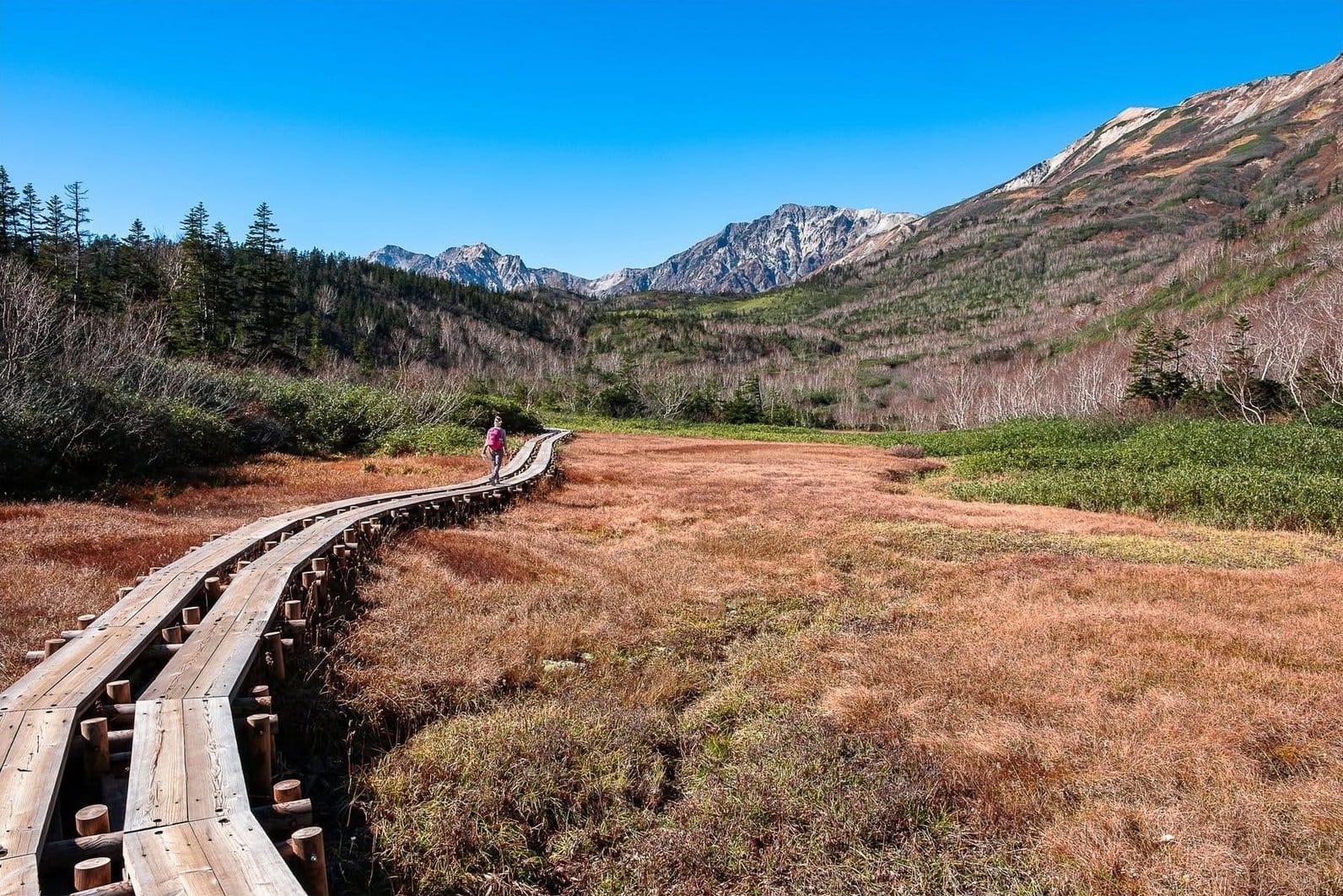
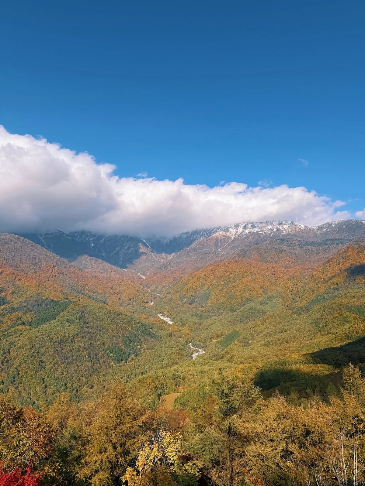
Open the folder of Nagano autumn photos you have been saving. Taisho Pond flat as glass, holding the Hotaka range upside down. A deck jutting off Iwatake above a valley gone gold. A boardwalk through rust-coloured marsh at Tsugaike. Now look up how far anyone walked to take them.
Almost every one of those pictures was taken within minutes of where a gondola, a bus or a flat path set the photographer down. Nagano has a reputation as mountaineering country, so the writing about it inherits a mountaineer's voice — but the infrastructure here was built to lift tens of thousands of skiers uphill every winter, and in autumn that machinery still runs. You buy altitude with a ticket, not with your knees. This guide is for the group whose pace is set by someone other than its fittest member.
First, rate your slowest walker
Answer these for the least mobile person in the group, not for yourself. How long can they walk on flat ground before needing to sit — not how far, how long? Do knees hurt going down? Plenty of older walkers manage uphill and suffer on the descent, and uneven stone steps are a signature of Japanese temples. Anyone with high blood pressure, heart or lung conditions, or dizziness at altitude? If so, read the Senjojiki and altitude sections closely and speak to a doctor first. Is the toddler walking or being carried? If carried, the carrier is your slowest member.
One rule for every trip with grandparents: one main destination per day, not two. The cost of cramming isn't money — it's that someone stops speaking to anyone by evening.
Nine views that ask almost nothing of your legs
Kamikochi: Taisho Pond to Kappa Bridge along the river
Difficulty: the best scenery-per-step ratio in the prefecture. Flat, boardwalked in places, about 3.5 km but divisible at will.
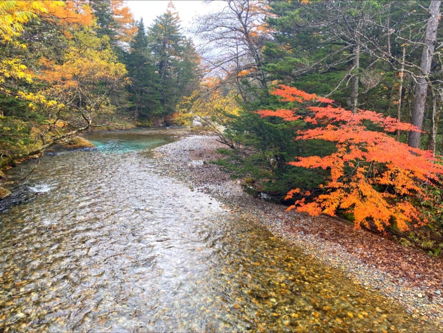
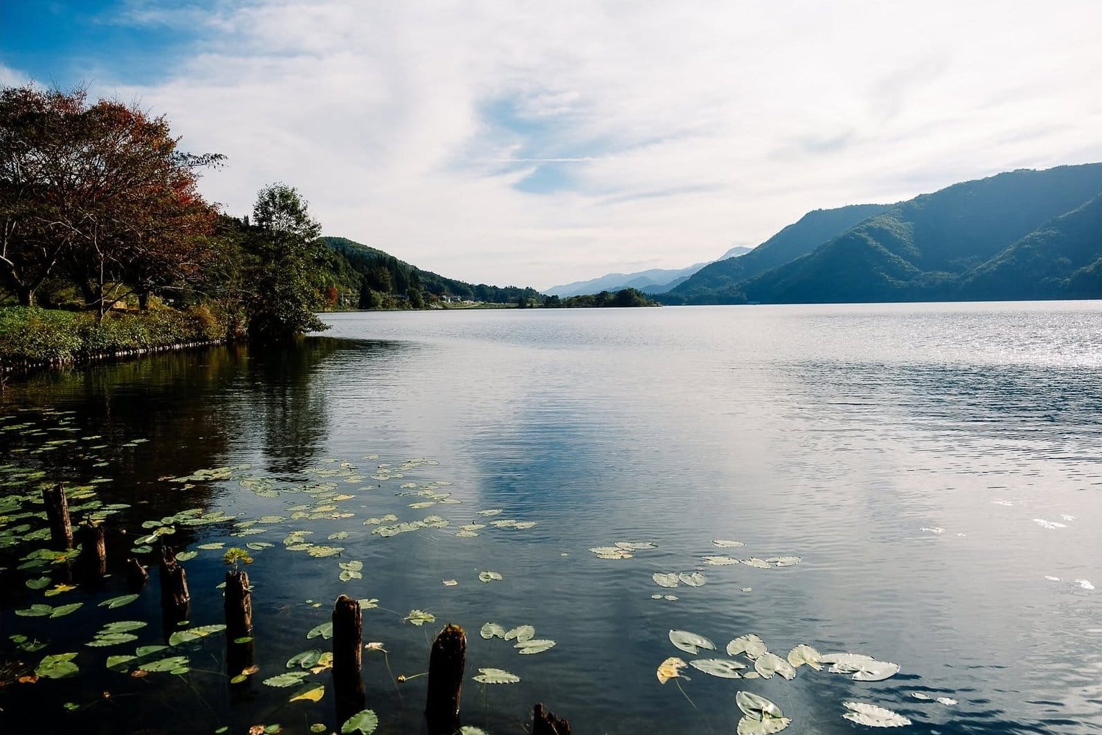
Kamikochi is a valley at roughly 1,500 m, closed to private cars, its main route running along the Azusa River with essentially no elevation gain and the Hotaka wall standing in front of you. For a slow group, get off the bus at Taisho-ike rather than riding to the terminus — still water, drowned tree trunks, steaming Mt Yake behind — then walk about an hour downstream to Kappa Bridge. You can quit anywhere: intermediate bus stops, restaurants, benches throughout.
The hard part is getting there: park at Sawando or Akandana and transfer to a bus, or train to Matsumoto then a local line and a bus. That chain of transfers exhausts people, not the path — which is why the two-day Kamikochi and Hakuba autumn tour from Tokyo, driving straight through, earns its place for this audience. Unnecessary if you drive yourself. Fitter members heading on toward Myojin should read the longer Kamikochi walks.
Happo-one and Iwatake's Mountain Harbor, Hakuba
Difficulty: almost no walking. Ride up, stand on a deck, sit down with a coffee, ride back.
Clear up one confusion: Happo-ike pond is not easy, but reaching the top lift station is. The famous reflecting pond lies sixty to ninety minutes beyond the last station on rocky trail — an optional reward for the strong. Everything before it is excellent: an enclosed gondola to the mid-station, two chairlifts to nearly 1,800 m, and a short flat boardwalk with benches and toilets partway up. Across the valley, a five-minute gondola delivers you to Hakuba Mountain Harbor, a deck cantilevered above the valley facing the Northern Alps, café beside it, no walking at all.
The caveat: the Happo chairlifts are open chairs — no roof, no glass, legs dangling. Ten motionless minutes at ten degrees with wind leaves an older person shaking even when the valley is sunny. Our easy Hakuba walks guide goes deeper on splitting a group here.
Tsugaike Nature Park: a boardwalk at 1,900 m
Difficulty: gentlest terrain of any high-altitude option here, but the full loop is long. Steps and narrow sections; strollers do not work.
A twenty-minute enclosed gondola plus a short ropeway puts you at the park gate, above a broad alpine marsh where the whole route is laid on boardwalk. The full circuit is roughly 5 km and three to four hours — too much for a mixed-age group. Go out and back: the first stretch inside the gate is both flattest and most beautiful. Twenty-five minutes in, sit, eat, turn around. Morning dew makes planks slippery, so a walking stick earns its place — not for gradient, but because a third point of contact steadies every step.
Karuizawa: Kumoba Pond loop and Shiraito Falls
Difficulty: Kumoba is a flat twenty-minute loop, fine for slow walkers. Shiraito is a short approach but on uneven trail.
Karuizawa sits near 1,000 m, just over an hour from Tokyo by shinkansen, on far gentler ground than the western mountains. Kumoba Pond is a short taxi from the station: a clear loop, part gravel and part boardwalk, best early before wind disturbs the reflection. Shiraito Falls, twenty-five minutes by road toward Kusatsu, is not tall but wide, water seeping from the rock face into a long white curtain. The approach takes only minutes, but it is a streamside trail with rough, damp, slippery patches — a slow walker with an arm to hold will manage; a wheelchair user will find it very difficult. If chaining local buses here sounds like more than you want to manage, a Karuizawa day tour from Tokyo covers the main stops by coach; its value is removing the waiting in the cold.
Zenkoji and its approach street, Nagano city
Difficulty: the approach street is flat, paved and stroller-friendly. Entering the main hall means steps.
Nakamise, the street leading to this thirteen-century-old temple, is one of the most comfortable stretches of walking in the prefecture: flat, paved, lined with sweet shops, soba restaurants and oyaki stalls, with an excuse to stop every thirty metres — and stopping means sitting. A bus from Nagano station reaches the gate in ten minutes, a trick many visitors miss before walking two kilometres uphill and arriving spent. The grounds are level, but the main hall has high wooden steps and requires removing shoes, where stiff knees run into trouble.
Obuse: a small flat town centre
Difficulty: essentially no gradient, short distances, the highest density of places to sit in this guide.
Thirty minutes from Nagano city by local train, Obuse fits its whole centre — Hokusai museum, stone lanes, merchant gardens, chestnut shops — inside a fifteen-minute radius of the station. No hills, no long staircases, cafés everywhere. Autumn is chestnut season: chestnut rice, monaka and ice cream, all things small children will eat and grandparents will enjoy. I use Obuse as a buffer day, slotted between two mountain days or saved for when everyone is tired.
Matsumoto Castle grounds
Difficulty: grounds and moat path are flat and easy. Climbing inside the keep is a different proposition — the wooden stairs are very steep.
The black keep reflected in the moat with the Alps behind is this region's classic image, and you do not need to go inside to get it — the best angle is from outside the moat, where the path is flat and there are benches and a red bridge. Inside, the original staircases are steep, high-stepped, nearly ladder-like, and shoes come off; no place for weak knees or for carrying a child. Let the fit members climb while everyone else waits in the grounds. Matsumoto is also independent of mountain weather, a strong fallback when lifts shut for wind.
Senjojiki Cirque: the easiest 2,600 m view in Japan
Difficulty: physically light — a forty-minute paved loop, or just the viewpoint a short stroll from the station. The altitude is the real consideration.
Senjojiki is a glacial bowl at roughly 2,600 m in the Central Alps, reached by mountain bus then ropeway with no compulsory walking. Step out and the cirque wall stands around you, alpine scrub turning red early in the season, with views to the Southern Alps on clear days. This is the highest view in Japan a non-climber can reach. The loop has steps and tilted sections; slow walkers can do part and turn back.
Said plainly: you go from around 800 m to 2,600 m in under an hour, with no time to acclimatise. Breathlessness, mild headache and dizziness on standing happen here more often than people expect, including to fit visitors. Anyone with heart conditions, high blood pressure or respiratory illness should talk to their doctor before the trip rather than judging by feel on the day. If you go up, move slowly for the first fifteen minutes, drink water, and take the next car down if anyone feels wrong.
Venus Line: a drive with viewpoints you barely leave the car for
Difficulty: no walking required. This is a driving route, not a walking one.
Venus Line crosses the eastern highlands through Kirigamine and Utsukushigahara at roughly 1,500 to 1,900 m, and its virtue for a slow group is that the scenery is beside the road: open plateau, golden grassland, long views to the Alps and even Mt Fuji on clear days. Pull-offs with parking, toilets and cafés are frequent, and the viewpoint is often a few paces from the car — the best option here when someone genuinely cannot walk, including a wheelchair user, because you control every stop. It requires your own vehicle, the plateau is much colder and windier than the valleys, and the high section closes for winter. For colour timing across the prefecture, see our best autumn foliage spots in Nagano.
The practical half
Toilets and changing facilities
The unbreakable rule: use the facilities at the station before starting any walk. Toilets in mountain Nagano cluster at lift stations, bus terminals, park entrances and car parks; on trails and mid-boardwalk they are sparse or absent. For nappy changing, large service centres, train stations and roadside stations (michi-no-eki) are the reliable bets — smaller mountain stations may or may not have facilities, and I'd rather not guess for you, so ask the operator if it matters.
Strollers and wheelchairs: the honest version
Strollers work on the Zenkoji approach, in central Obuse, around Matsumoto Castle's grounds and moat, on the flat sections at Kumoba Pond, at Venus Line pull-offs, and on level ground around lift stations. They effectively do not work on the Tsugaike boardwalk (steps, single-file sections, damp tilted planks), the Happo-one trail, the Shiraito approach, or the Senjojiki loop; for under-threes, a carrier is the correct answer. Kamikochi sits in between — much of the riverside is wide enough to push, but there are narrow boardwalks, roots and steps.
Wheelchairs need more care. Matsumoto's grounds, the Zenkoji approach, central Obuse and Venus Line stops are level and broadly workable; boardwalks and trails are not. Specifics — lifts, accessible toilets, whether chairs can be borrowed, how a chair is handled on a gondola — vary by operator and change seasonally, so contact the site directly. Guessing wrong here lands on the person least able to absorb it.
Warmth for people who feel the cold
The gap between valley and upper station can reach eight or ten degrees before you count wind, so work in thin layers rather than one thick coat: windproof shell, light down or fleece beneath, ear-covering hat, thin gloves, shoes with grip. For grandparents add a blanket for the chairlift and a stick-on heat pad, sold in every convenience store. Older travellers lose heat faster and rarely say so early, so ask them, and carry a thermos.
Altitude above 2,000 m
From about 2,000 m the air is thin enough for your body to notice; in Nagano that means Senjojiki and the ground around Happo-ike. Most healthy people are fine, but breathlessness, mild headache and unusual fatigue are real and nothing to be embarrassed about, and the response is always the same — slow down, sit, drink water, descend if it doesn't ease. Anyone with cardiovascular disease, high blood pressure, lung conditions, or who is pregnant should discuss high ropeways with their doctor before the trip; that is general advice, not a substitute for someone who knows your history. Keep medication on the person, not in a suitcase.
Short walking days and somewhere to sit
Travelling with my own parents taught me that total distance matters less than the gap between one place to sit and the next. A 3 km route with a bench every three hundred metres is kinder than 1.5 km with none. By that measure Obuse and the Zenkoji street lead, Kamikochi does surprisingly well on riverside benches, Hakuba and Tsugaike are fine at the stations but thin out on the trail, and Senjojiki has the fewest seats. An ultralight folding stool sounds silly until the first time your mother can sit exactly when she needs to. Pair it with a rule: the main destination goes in the morning, the afternoon stays empty.
Food children will actually eat
Cold soba with dipping sauce is a hard sell for small children, so don't bet lunch on it. Reliable alternatives: hot udon, at most soba restaurants if you ask; curry rice at lift-station restaurants; onigiri bought in the morning; and oyaki, Nagano's steamed vegetable or bean buns, eaten in the hand and usually a hit while warm. In Obuse, anything with chestnuts goes down easily. Note that mountain restaurants close early, many stopping service in the early afternoon, and food up top is limited and expensive, so stock up in the valley.
What to cut when someone is tired
Drop the day's second destination first, rather than rushing the first — slow at one place beats hurried at two. Then shorten a route instead of abandoning it: fifteen minutes into Tsugaike still shows you the marsh, and twenty minutes at Taisho Pond may produce the best photograph of the trip. Then split the group deliberately, with a meeting time agreed out loud rather than by phone, because mountain signal isn't trustworthy. And cut the hardest thing of all: the ambition to reproduce a photograph you saw online. Many of those were taken beyond a real trail, on a rare windless morning, by someone travelling alone.
FAQ
My parents are in their eighties and need a rest after fifteen minutes. Is anything here possible? More than you'd think. Mountain Harbor requires almost no walking, Venus Line viewpoints are a few paces from the car, and the Zenkoji approach and central Obuse are flat and full of seats. At Kamikochi, getting off at Taisho Pond for twenty minutes and reboarding is already worth the trip.
Can we do Kamikochi with a stroller? Partly. Much of the riverside is wide and level, but there are narrow boardwalks, roots and steps. Large wheels with two adults taking turns cope; a compact folding buggy means carrying more than pushing.
Someone in our group uses a wheelchair. Where should we go? Matsumoto Castle's grounds, the Zenkoji approach, central Obuse and Venus Line stops — level ground where you control the distance. Boardwalks and mountain trails are not suitable. For lifts, accessible toilets or taking a chair on a ropeway, contact each operator directly beforehand.
My father has high blood pressure. Should he go up to Senjojiki? Ask his doctor before the trip and decide from there — reaching 2,600 m in under an hour is a genuine physiological change, not something to judge by how you feel that morning. If the answer is no, nothing else here demands that altitude.
When in autumn should we go? Colour moves downhill over roughly six weeks: the 1,900–2,600 m zone peaks first, Kamikochi and Venus Line sit in the middle, and Karuizawa, Obuse, Nagano city and Matsumoto come last. With elderly travellers I lean earlier within each window, because the high ground only gets colder.
What if it rains all day? Abandon the mountains. Matsumoto Castle, Zenkoji, Obuse and the museums around Karuizawa are weather-independent, and onsen are better in the rain anyway. Near 2,000 m, rain with wind doesn't just cost the view — it gets dangerously cold for older travellers and small children.
More from this region — Chubu (Nagano, Kanazawa)
View all →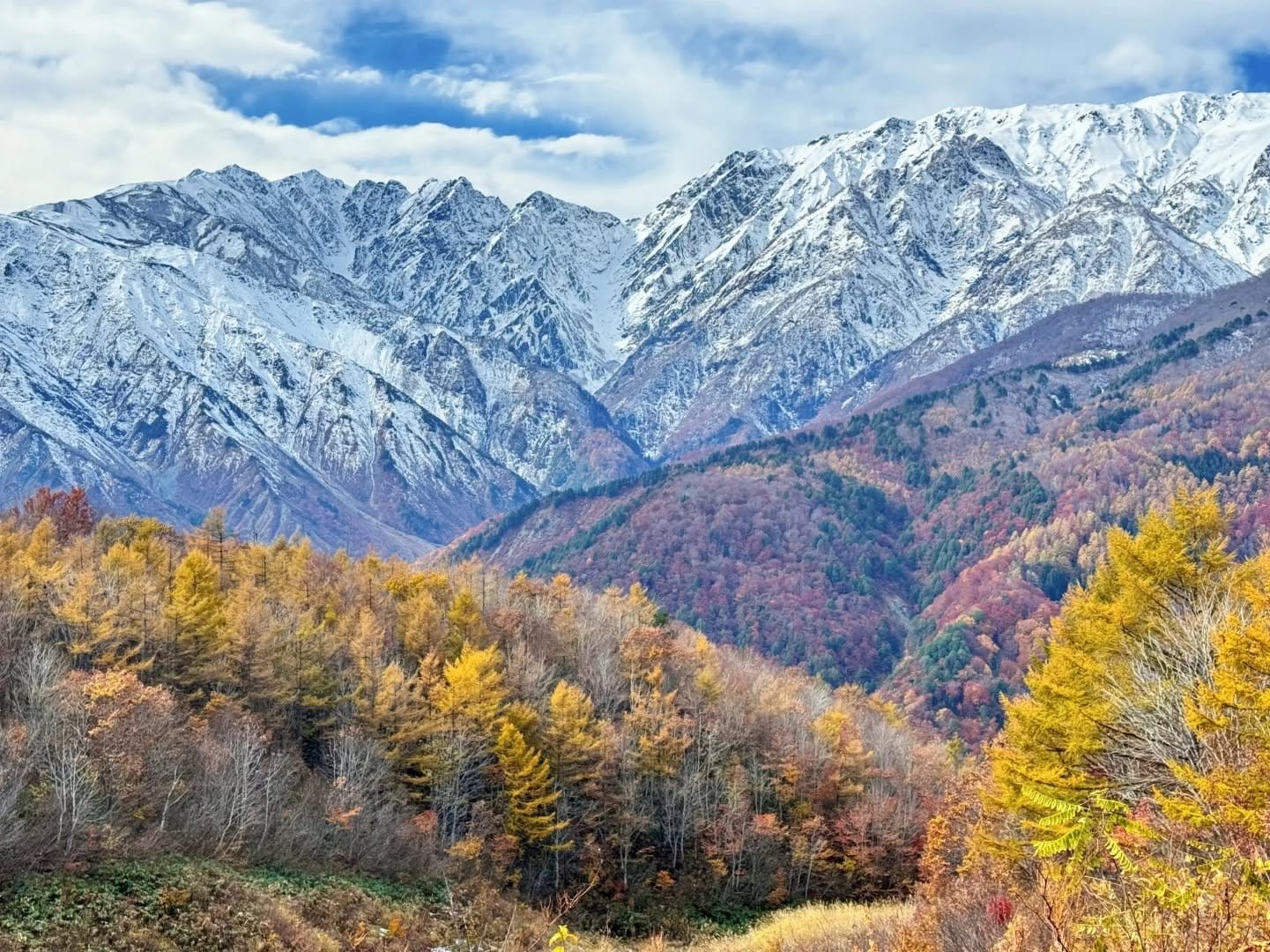
Nagano's Autumn Colour Ladder: A Week-by-Week Calendar by Altitude
12 min · tips
One Day in Nagano in Autumn: Three Itineraries, and Why You Have to Pick One
12 min · tips
Two Days and One Night in Nagano in Autumn: The Alps Loop or the Northern Loop
15 min · tips
Nagano in Autumn: Beating the Crowds and Controlling the Cost
11 min · tips