Autumn in Nagano: the foliage here is an altitude ladder, not a date
Nagano's colour starts above 2,000 m in late September and walks down to the valley floors by mid-November. How to read that ladder backwards from dates you already booked, which clusters are worth a trip, and what a first-timer should honestly pick.
Aug 14, 2026·✍️ olablog·⏱ 11 min read
Nagano's colour starts above 2,000 m in late September and walks down to the valley floors by mid-November. How to read that ladder backwards from dates you already booked, which clusters are worth a trip, and what a first-timer should honestly pick.
Tap a region to browse articles
The question we get most about Nagano is "which week should I go for autumn colour". The honest answer is another question: at what altitude do you want to stand?
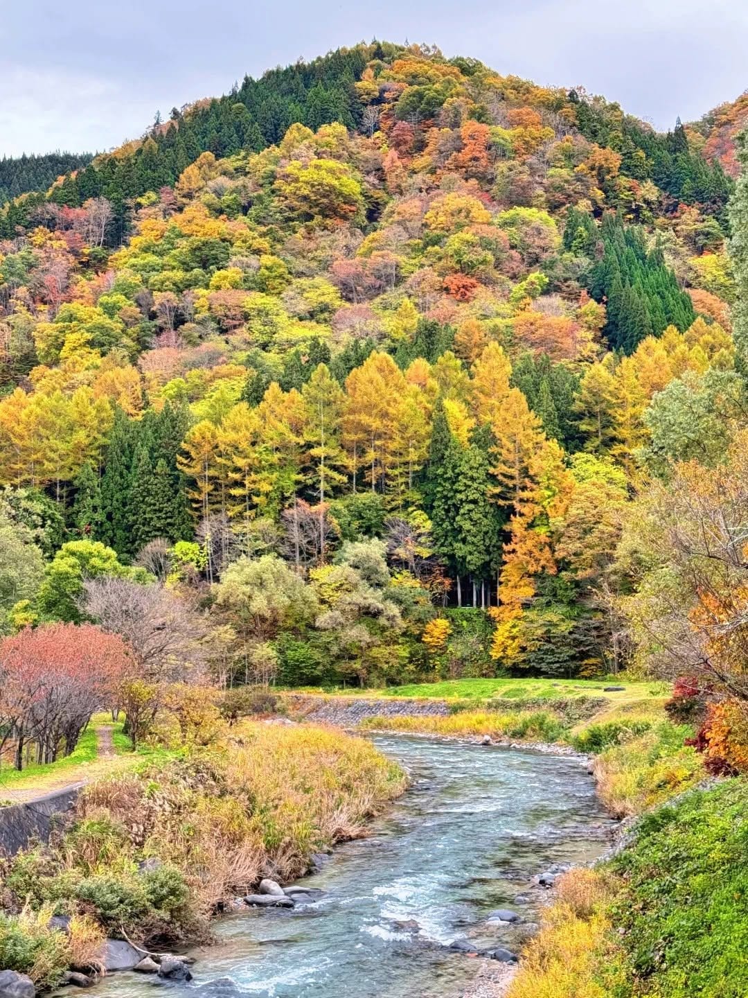
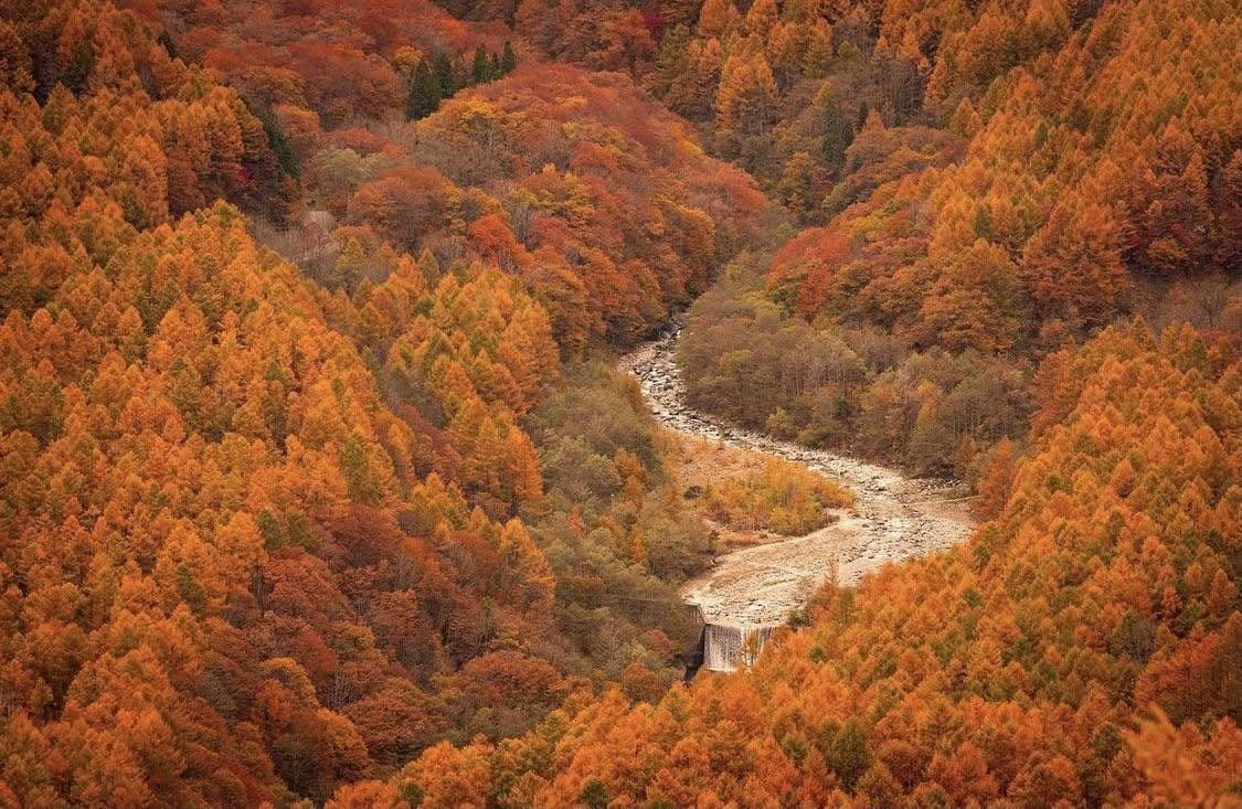
That isn't evasion. Nagano is Japan's most mountainous prefecture — inside one set of borders you have places above 2,700 metres a public bus will reach, and places barely 400 metres up, less than two hours apart by road. Foliage follows temperature, temperature follows altitude. So autumn here doesn't happen once: it starts high around late September and slides downhill like a stain running down the slopes, taking six or seven weeks to reach the valley floors and the cities around early to mid-November.
Once that clicks, most of the planning problem solves itself. In almost any week from late September to mid-November, some band of altitude is at its best; the only question is whether you go to that band.
The altitude ladder
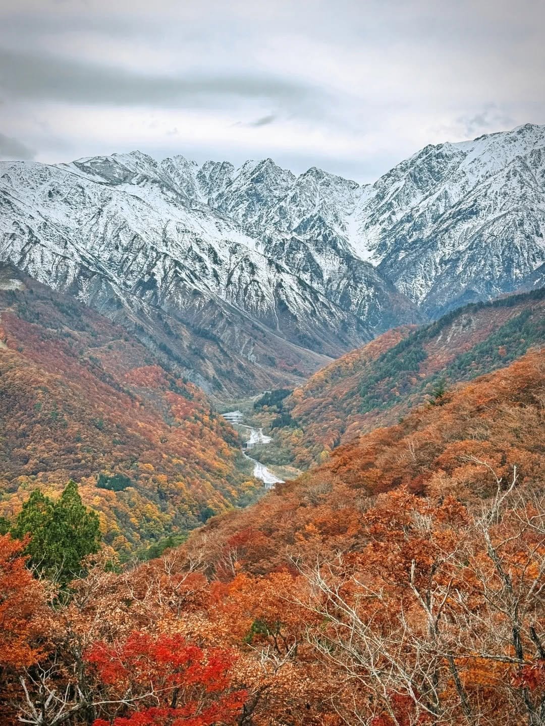
The physics is almost comically simple: every 100 metres costs you roughly half a degree, so 2,000 metres of difference is twelve to fifteen degrees. Trees turn when night temperatures settle near 8°C for several days. The summits therefore enter autumn about six weeks ahead of the cities, season after season.
Above 2,000 m — roughly late September to mid-October
Where Nagano's autumn begins, and the rung foreign visitors know least, because it sits outside the "November is leaf season" assumption.
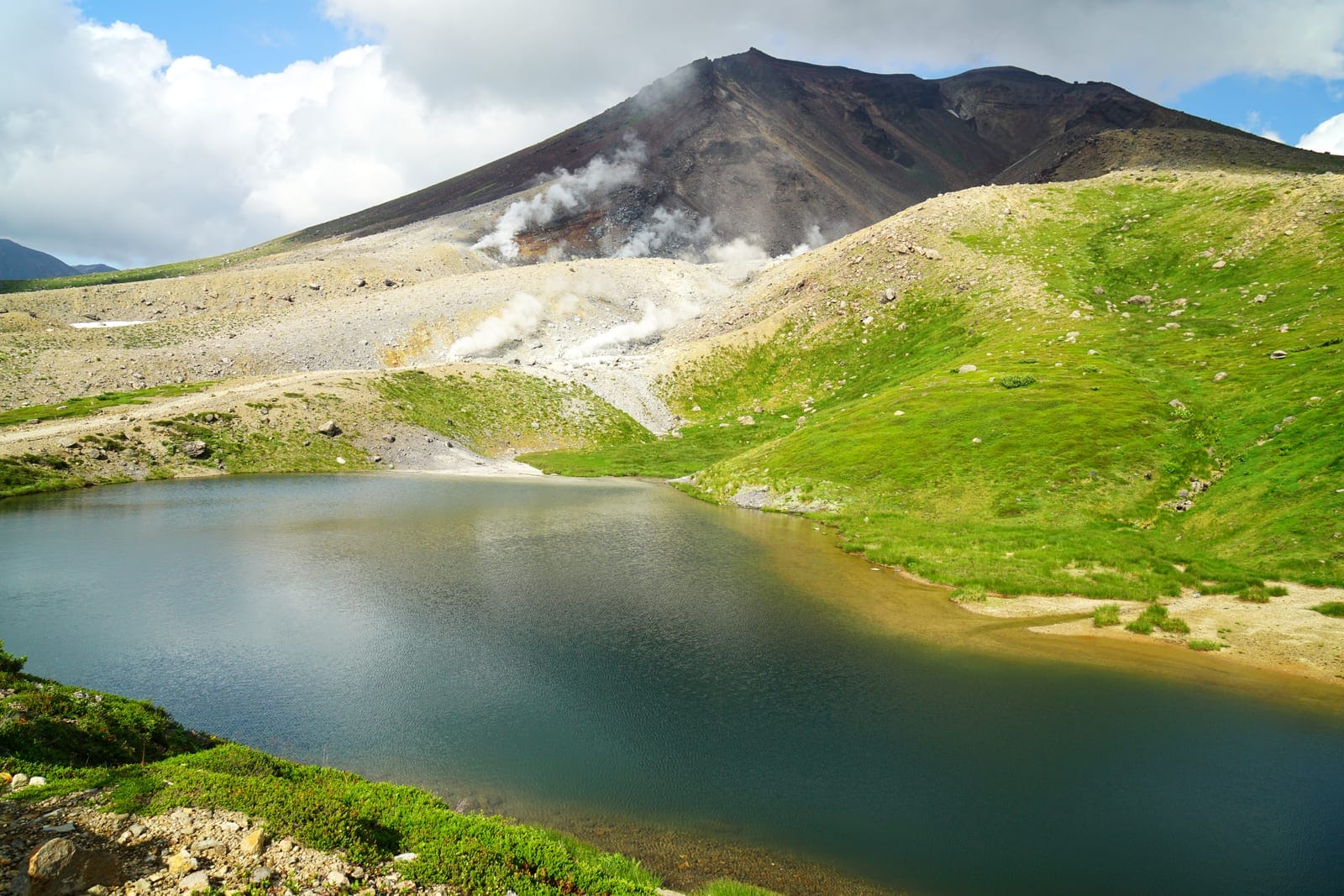
Norikura Tatamidaira, about 2,700 metres, is the highest point in Japan reachable by public bus: alpine scrub going red over volcanic rock, small tarns, the Northern Alps laid out around you. Colour peaks in the second half of September, and the road normally closes for winter around late October depending on snow — check the official site. It is properly cold up there; an early morning can sit near zero in serious wind.
Senjojiki Cirque in the Central Alps above Komagane, about 2,600 metres by bus then ropeway, is a glacial bowl that turns red across its whole floor while the walls above may already carry snow. Window: late September into early October.
The Tateyama–Kurobe Alpine Route, entered at Ogizawa on the Nagano side, climbs past Kurobe Dam to Murodo above 2,400 metres. The top turns from mid-to-late September, the dam at 1,470 metres two to three weeks behind. Time it right and you get fresh snow, red slopes and turquoise water in one morning.
Around 1,500 m — roughly mid to late October
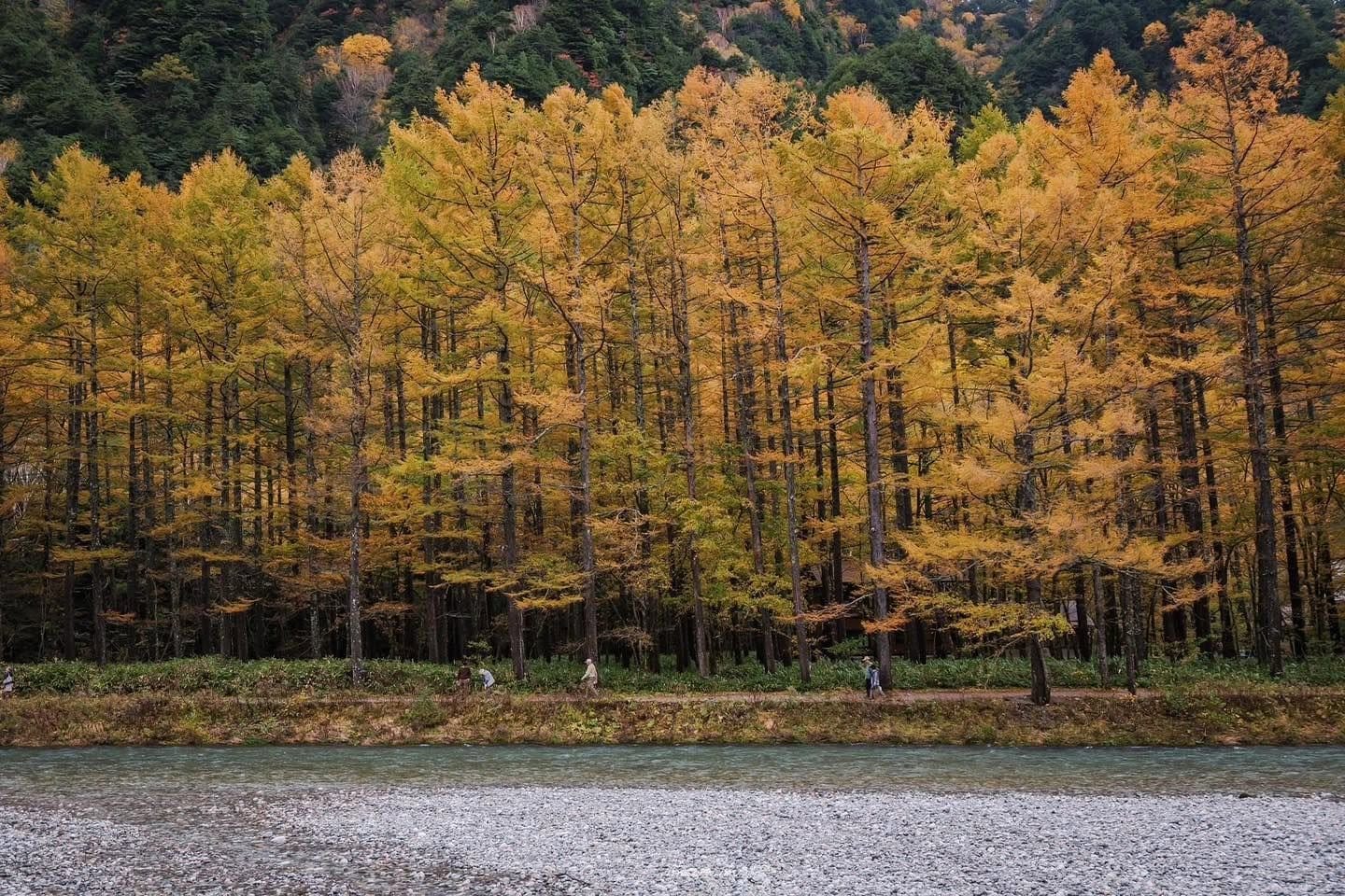
The most famous rung, and the most crowded. Kamikochi at 1,500 metres is the emblem. What sets this valley apart isn't red maple but karamatsu — Japanese larch, a conifer that sheds — turning gold across both slopes, against the turquoise Azusa river and the Hotaka range under its first thin snow. That three-layer effect usually lands late October into the first week of November. If Kamikochi is your main target, read our full Kamikochi autumn guide for the week-by-week calendar and the mid-November closing date.
Same rung: the upper half of Happo-one in Hakuba (top lift around 1,800 m, Happo Pond above 2,000 m), Shiga Kogen and Tsugaike. All reachable by lift — no real climbing.
Around 1,000 m — roughly late October to early November
Karuizawa sits right here at 950 to 1,000 metres, which is exactly why a town an hour from Tokyo by shinkansen has a later leaf season than the capital — broadleaf forest and tree-lined lanes rather than alpine drama, walkable all day without hiking boots. Week-by-week detail is in our Karuizawa autumn guide.
The Hakuba valley floor, around 700 metres, runs to the same schedule: Iwatake, Lake Aoki and Ōide Park come good late October to mid-November. Both Hakuba rungs sit within a few kilometres, so around mid-October you can catch two altitudes in a day — the logic behind our one-day Hakuba itinerary.
The Venus Line and the Tateshina, Kirigamine and Utsukushigahara highlands climb from 1,000 to nearly 2,000 metres along the road itself, making them a cross-section of the whole ladder — see our Venus Line piece.
Below 700 m — roughly early to mid-November
Only now does autumn reach where people actually live: Matsumoto around 590 metres, Nagano city around 370, the post towns of the Kiso valley between 400 and 600. The most underrated rung, and for many travellers the most pleasant — no 5 a.m. alarm, no watching the last lift down. Here the colour is maple and ginkgo in temple courtyards, along castle moats, over the stone street of Tsumago: more modest than the Alps, but with something the Alps lack — tiled roofs, plaster walls, and people living behind them.
Reading the ladder backwards
You have the dates; now find the altitude.
Late September or the first week of October. Karuizawa and Matsumoto will still be green; put everything above 2,000 metres and use the low country for Matsumoto Castle, Zenkoji, food and onsen.
Mid-October. The greediest week, because the two middle rungs overlap: Kamikochi turning, upper Hakuba at its best, the valley floors starting. Pair a high spot with a low one in a single day. The trade-off is peak crowds and peak room rates.
Late October into the first week of November. The best window for larch, and the moment Karuizawa and the Hakuba valley come good. If you only get one week, this is it.
From about 10 November. The high country is finished and some roads have closed. Shift to Matsumoto, Kiso, Nagano city and Jigokudani — also the nicest time to walk the Nakasendo.
And remember that every season shifts, usually about a week. Treat these dates as a planning frame, then a week out check the Japanese foliage forecasts and the daily photo updates each ropeway and park posts.
The clusters worth a trip
Travel inside Nagano is slower than the map suggests, so one or two clusters done properly beats four crammed in.
Kamikochi and the Northern Alps. The strongest cluster for scenery. Private cars banned year-round; park at Sawando or Akandana and shuttle in. The valley closes for winter around mid-November, giving it the shortest season and earliest booking deadlines. Pairs with Norikura, Hirayu Onsen and Matsumoto.
The Hakuba valley. The easiest high-mountain cluster: winter ski infrastructure leaves autumn a ready-made network of gondolas and buses, so you reach 1,800 metres without climbing. Pairs well with Nagano city, and the village onsen is a well-earned finish.
Karuizawa. The easiest cluster full stop — walkable town, outlet mall, chapels in the woods, no lift to depend on. The sensible pick with older relatives or small children, including as a Karuizawa day trip from Tokyo.
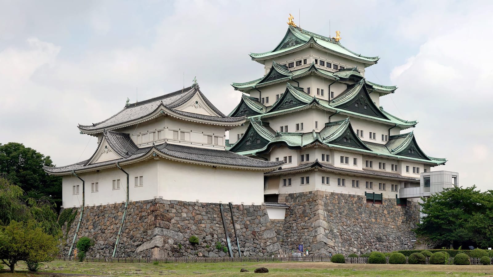
Matsumoto and the Kiso valley. Matsumoto has one of Japan's few surviving original castle keeps and is the gateway to Kamikochi. South of it, the Kiso valley carries the old Nakasendo highway, Tsumago and Magome linked by roughly eight kilometres of forest trail. Least dependent on altitude, and the cluster that rescues a late-season trip.
Nagano city and Zenkoji. A temple over 1,300 years old, walkable from the station, its approach street lined with soba shops and oyaki stalls. The city is also the northern transport hub, and rooms cost less than the mountain resorts.
Jigokudani and the snow monkeys. The park at Yamanouchi, around 850 metres, is the only place wild macaques bathe in a hot spring. Most people file it under winter, but autumn works: coloured leaves over the approach, far quieter than January. Budget a thirty-minute forest walk in from the car park.
The Venus Line and Tateshina. A highland road over Kirigamine and Utsukushigahara, best with a rental car: open grassland gone gold and brown, Fuji on the horizon on a clear day. High sections close once snow arrives.
How mountain weather behaves
City forecasts are close to useless up high. An app saying Matsumoto is 18°C and sunny tells you nothing about Happo Pond at 4°C in a stiff wind. If the area has a webcam on its official site, trust that instead.
Early morning is both the best and the shortest window. In tight valleys like Kamikochi the sun arrives late because the ridges block it, and by midday the wind picks up, water ripples and cloud crawls up the peaks. Nearly every mirror-still reflection photo you've seen was taken before nine.
Low cloud doesn't mean a wasted day. Alpine mist clears in waves, and waiting out forty minutes is routine. Our rule: have a low-altitude fallback in mind before setting out. The person inventing a plan B while standing in the rain at a bus stop is the one having a bad day.
Three layers handles nearly everything here, plus a hat and thin gloves above 1,500 metres after around 20 October, and shoes with real grip.
What a first-timer should pick
One day from Tokyo: Karuizawa. Just over an hour by shinkansen, walkable, not dependent on any lift, colour landing late October to early November. Don't attempt Kamikochi as a Tokyo day trip; possible, but you'll spend more of the day in transit than looking at anything.
Two days, one night: pair a mountain cluster with a low one — Kamikochi plus Matsumoto, or Kamikochi plus Hakuba for two different kinds of mountain. The two-day Kamikochi and Hakuba autumn trip from Tokyo does exactly that pairing and takes the regional bus logistics off your hands.
Three to four days: where Nagano earns its keep. A sensible loop runs Matsumoto — Kamikochi — Hakuba — Nagano city, south to north, finishing at Zenkoji. Late in the season, swap Kamikochi for Kiso and the Nakasendo.
Whatever you choose, don't over-pack it. Three places done properly across four days gives you more than six done at a run.
Practical notes
Carry cash: family soba shops, local buses, mountain huts and toilet donation boxes all prefer it, and ATMs taking foreign cards are thin on the ground in mountain towns. Book early and go midweek if you can — peak foliage overlaps with Japanese domestic holidays, and the gap between a Saturday in mid-October and the Tuesday of that week is enormous in both crowds and price. Eat properly while you're here: this is soba country, and autumn is shin-soba season from around late October. Note that these mountains have bears, so a bell on your pack is worth having on quiet paths. And check the official calendars before you travel — Kamikochi's closing date, the Tateyama–Kurobe season, the Norikura road, first and last lift times all shift year to year and with the weather.
FAQ
If I only get one week, which is it? Roughly 20 October to the first days of November: larch at Kamikochi peaking, Karuizawa and the Hakuba valley coming good, the high country not yet fully shut. Allow for the week-either-way variability and check foliage reports seven to ten days out.
Is November too late for foliage in Nagano? No, but you have to change altitude. From early November, aim at Matsumoto, the Kiso valley, Nagano city and Jigokudani; above 1,500 metres will mostly be bare and some mountain roads start closing for winter.
Is Nagano hard without a car? Not hard, but it forces you to pick clusters. Karuizawa, Matsumoto, Nagano city, Hakuba, Kamikochi and Jigokudani are all reachable by train plus bus; the Venus Line, the smaller highlands and many remote onsen effectively require driving.
How is this different from Kyoto in autumn? Different palette. Kyoto is deep red maple against temple architecture, peaking in the second half of November. Nagano leans gold and orange — larch, birch, highland grass — against high peaks and clear water, three to four weeks earlier.
Where can I take small children or older relatives? Karuizawa has almost no barriers, and at Kamikochi the main riverside route is flat and fine as long as you skip the climbing trails. In Hakuba, Iwatake is reached by gondola and has warm places to sit. Jigokudani needs thought because of the thirty-minute walk in.
How many days is enough, and how much colder is it up high? Three days is the minimum to leave without regrets, four is comfortable; two works if you commit to a single cluster. On temperature, the rough rule is six to seven degrees colder per 1,000 metres before wind — Matsumoto at 18°C means Kamikochi around 12°C and Norikura Tatamidaira possibly 5°C or less.